Trip
Summit 2026 – Mt. Princeton
A special commemoration of 250/150 on Colorado Day to summit the state's 14ers.
Contacts

- Sat, Aug 1, 2026
- Summit 2026
- Hiking
- Adults
- Challenging
- Mileage: 6.5 mi
- Elevation Gain: 3,200 ft
- High Point Elevation: 14,200 ft
- Pace: 1,000 ft/hr
- 3 (4 capacity)
- Cancellation & Refund Policy
All participants and leaders are REQUIRED to sign the State of Colorado's liability waiver. Please click here to fill out the waiver.
For questions about your trip, please reach out to your trip leader directly. For general questions about the Summit 2026 project or any relate event, please reach out to summit2026@cmc.org.
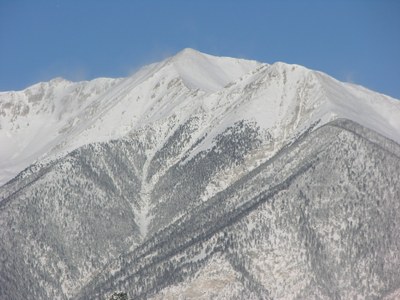
Mt. Princeton is a Class 2 14er with the upper trailhead route being about 6.5 miles roundtrip with about 3,200 ft of elevation gain.
The Mt. Princeton road is narrow and there aren't many pull-offs. To try to ensure we get a parking spot at the upper trailhead we will take one vehicle up the road and leave early. Parking from the lower lot changes the mileage to 13.25 miles roundtrip with about 5,400 feet of elevation gain. If we begin from the upper trailhead, we can anticipate 3-4 hours for the trip, and about 6-8 hours if starting from the lower lot. Be prepared to pivot to hiking from the lower lot. This means having enough food, snacks, and water for the potential extra mileage.
Mt. Princeton is rated as difficult for a 14er, and having good physical fitness is important. If any participants have any sort of medical problems or injuries, please let the trip leaders know in advance.
From the upper parking lot, we will hike about a mile and a half to where the Mt. Princeton trail begins on the right side of the road. The first section of the hike is on a road, which can be pretty dusty if cars go by, so bringing a buff or face mask of some sort might be helpful. From where the trail begins off the road, the route becomes a single track trail. We will hike to 11,900', where the trail crosses to the north side of Tigger peak, revealing much of the remaining route up Princeton. We'll head west over rocky terrain, traversing gullies, which may hold snow in spring or early summer. The trail is generally stable, although it may be briefly obscured in some areas due to occasional rock movement. After crossing the final gullies, we will reach easier terrain on Princeton's east slopes. Near 12,800', we arrive at a small rock wall, built to block hikers from continuing into difficult terrain. The route turns sharply left and we'll follow the trail to the Tigger-Princeton connecting ridge , at 13,100'.
On the ridge, we turn right and follow it northwest toward the summit. Around 13,300', we will reach a small flat section before ascending the southeast ridge. The route becomes steeper between 13,600' and 14,000', but it remains Class 2 in difficulty. The final pitch comes into view around 14,000'. We will stay near the ridge crest and continue to the summit.
For those coming from Leadville, we will meet at the Desert Mountain Medicine Headquarters (address: 225 Harrison Ave Leadville, CO) at 5:00 am and carpool down to Buena Vista, ideally in one car. Have your hiking pack ready to go, but we will have a few minutes at the starting point of our hike to change shoes or re-situate packs, if needed. We will get a ride up to the upper trailhead (38.745522, -106.199311) and start our hike from there or slightly higher. The drive from Leadville to the upper parking lot will take about an hour to an hour & 15 min.
If there is more than one car coming from Leadville or we have people meeting us who are not in Leadville, we will stop at the lower parking lot (38.740161, -106.175481) before carpooling up to the upper parking lot. 4WD is needed to reach the upper trail head.
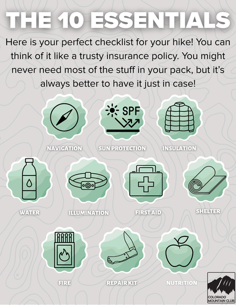
Required Equipment