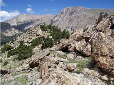
RMNP - Mount Tileston
Mount Tileston is a wonderful peak located in the Mummy Range. Though not exceptionally high, it has commanding views of Mummy Mountain's jagged face and 360 degree panoramic views of RMNP.
The hike to Mt Tileston's summit (11,227') begins at the Lawn Lake Trailhead. Follow the Lower Lawn Lake Trail about 5.5 miles to the junction with the Black Canyon Trail. From here, leave the trail and bushwhack south on the ridge crest and follow to the summit. To return, backtrack your route back to the Lawn Lake Trailhead.
- Suitable Activities: Hiking
- Seasons: Year-round
- Weather: View weather forecast
- Length: 12.0 mi
- Elevation Gain: 2,800 ft
- 11,227 ft
- Land Manager: National Park Service
- Parking Permit Required: National Park Entrance Fees
- Recommended Party Size: 12
- Maximum Party Size: 12
- Maximum Route/Place Capacity: 12
Upcoming Activities
Past Activities
Map
- mallory3
Trip Reports
Resources
There are no resources for this route/place. Log in and send us updates, images, or resources.