Trip
Hiking – Devil's Canyon Trail System
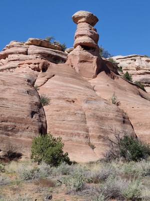
Expect a 3 hour hike in the Devils Canyon area that passes through red rock canyons.
- Wed, Jun 21, 2023
- Western Slope
- Hiking
- Adults
- Moderate
- Moderate
- Mileage: 5.0 mi
- Elevation Gain: 770 ft
- High Point Elevation: 6,000 ft
- 5 (11 capacity)
- Cancellation & Refund Policy
This is the first of the 3rd Wednesday of the month summer morning hikes in the Grand Junction area. Expect to return to the the trailhead by 10 am, before it gets hot.
The group will meet at 7:00 am at the Devil's Canyon Trailhead in the McInnis Conservation area near Fruita, CO.
Directions. Take I-70 Fruita exit 19. Turn south onto Highway 340. After approximately 1.5 miles, turn right into the Kingsview Estates Subdivisions, following signs to McInnis Conservation area. Travel approximately 0.5 miles to the Devils Canyon parking lot on the left.
Required Equipment
Bring the ten essentials and plenty of water.
