Trip
RMOTHG Trip – Rock Creek Trail
This is a hike to BOULDER LAKE from the Rock Creek Trailhead north of Silverthorn. It is a moderately difficult out and back, on-trail, RMOTHG hike in the Eagles Nest Wilderness Area.
- Tue, Jul 29, 2025
- Rocky Mountain Over the Hill Gang
- Hiking
- Adults
- Moderate
- Mileage: 6.0 mi
- Elevation Gain: 1,400 ft
- High Point Elevation: 10,120 ft
- Pace: 1.4 - 1.7 mph
- FULL, 2 on waitlist (9 capacity)
- Cancellation & Refund Policy
This is an approximately 6-mile hike with 1400 feet of elevation gain, but I rate the hike as moderately difficult. We will hike at a moderate pace of 1.4 – 1.7 miles per hour, or at an adjusted pace to suit the trip participants. There are significant uphill sections both going to the lake and returning from the lake.
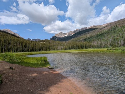
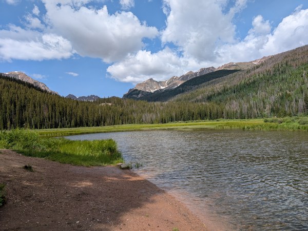
AllTrails describes the hike to Boulder Lake as: Boulder Lake via sRock Creek and Gore Range Trails starts in a deep forest. As you follow the trail, you will cross a ridge and then drop through the woodland. A little creek crossing at the bottom of this descent will indicate the beginning of the climb. The trail occasionally passes through scenic meadows as it climbs steeply through forests. It is not uncommon to see moose close to the lake. As you get closer to the lake and the surrounding mountains, the forest opens up to breathtaking views. At Boulder Lake, the surrounding mountains provide spectacular views of the lake. See photo below that I took on 7/10/25
The hiking track can be found at: https://www.gaiagps.com/map/?loc=16.2/-106.1687/39.7111&pubLink=lmKegqdfxmLLZewLcAKehWB1&waypointId=c089ecb9-72ba-498f-b854-d79cdaf08082.

We will meet to carpool to the trailhead at the Wooly Mammoth Park and Ride, Section BB near the intersection of I-70, C-470 and State Highway 93 at 6:30 AM on Tuesday July 29th for a no-later-than 6:45 AM departure. The driving distance to the trailhead is 64 miles one way -- 128 miles total driving distance @ $0.30 per mile = $38.40 per carload to be divided equally among all participants in the car, including the driver.
A Google Map for the Carpool meetup at Wooly Mammoth is: https://maps.app.goo.gl/ZwgRgtZQZ2DwKG3J6
A Google Map for the Rock Creek Trailhead is: https://maps.app.goo.gl/NFYnN97YjjTzEE1WA. The turnoff road for the trailhead is about 7.5 miles north of Silverton on State Highway 9. The last 1.5 miles is on a dirt road that is somewhat bumpy but a high clearance 4wd vehicle is NOT required.
We will make a comfort stop in Downieville on the way to the trailhead so hikers can use the restroom and/or buy snacks or drinks.
The plan is to start hiking by 8:30.
Required Equipment
10-essentials, sturdy boots, clothing layers, food and water, rain jacket, consider trekking poles as well.

