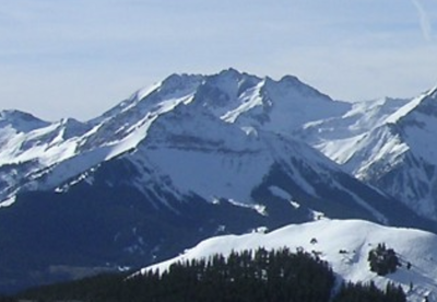
Mt. Wilson
Mt Wilson (14,256') is located in the Lizard Head Wilderness. Often climbed with El Diente (14,165') Peak.
Get routes, details, Wilderness requirements, and gpx tracks at 14ers.com. Also information on El Diente at its own Route & Place.
Alternate Titles:
Navajo Lake Approach - 9.5 miles, 2000' gain - Class 1
Rock of Ages Approach - 8.5 miles, 2800' gain - Class 1
Kilpacker Approach - 6 miles, 800' gain - Class 1
North Slopes - 16 miles, 5100' gain - Class 4
East Face - 12 miles, 4900' gain - Class 3 (snow route)
- Suitable Activities: Hiking, Mountaineering, Scrambling
- Seasons: June, July, August, September, October
- Weather: View weather forecast
- View avalanche forecast.
- 14,256 ft
-
Land Manager:
U.S. Forest Service
Lizard Head Wilderness Area, Dolores Ranger District (SJNF)
- Parking Permit Required: USFS Permits & Passes
- Recommended Party Size: 12
- Maximum Party Size: 12
- Maximum Route/Place Capacity: 12
- 14ers.com
This is a list of titles that represent the variations of trips you can take at this route/place. This includes side trips, extensions and peak combinations. Not seeing a title that fits your trip? Log in and send us updates, images, or resources.
- Mt Wilson - Navajo Lake Approach
- Mt Wilson - Rock of Ages Approach
- Mt Wilson - Kilpacker Approach
- Mt Wilson - Woods Lake Approach
- Mt Wilson - Southwest Slopes
- Mt Wilson - North Slopes
- Mt Wilson - East Face
- Mt Wilson/El Diente - Kilpacker Approach
There are no resources for this route/place. Log in and send us updates, images, or resources.