Trip
Ascending Hikes – Rosalie Peak via Tanglewood Creek Trail and Pegmatite Points
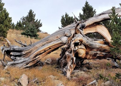
A long hike with lots of elevation gain on a good trail followed by 1600' gain on tundra. Expect beautiful views, pretty flowers, and a stand of old Bristlecone Pines.
- Sat, Jun 21, 2025
- Ascending Hikes Section
- Hiking
- Adults
- Difficult
- Mileage: 11.0 mi
- Elevation Gain: 4,300 ft
- High Point Elevation: 13,523 ft
- Pace: 1.5 mph with 1000' gain per hour
- 1 (10 capacity)
- FULL (2 capacity)
- Cancellation & Refund Policy
We will follow the route described on 14ers.com. This is a long hike with a lot of elevation gain, and we will keep moving. Expect the trail to be muddy in spots, some snow in the tundra (recent reports have indicated it's easy to avoid). In addition, please note that this is not a fast hike, and the whole group will stay together.
I will send out more information including a map, gpx track and a weather forecast a few days before the hike.
Meet at the pull-off by the Fort Restaurant at 5:00 am for a prompt 5:15 am departure. Fort is located at 19192 CO-8, Morrison, CO 80465. Please park just south of the restaurant entrance, and obey all No Parking signs.
Required Equipment
10 essentials
