Trip
Hiking – Brookside-McCurdy Trail
A relaxed, moderately paced hike toward the Lost Creek Wilderness.
- Wed, Aug 7, 2024
- Rocky Mountain Over the Hill Gang
- Hiking
- Adults
- Moderate
- Mileage: 6.0 mi
- Elevation Gain: 900 ft
- High Point Elevation: 8,934 ft
- Pace: 1.8 - 2.0
- FULL (8 capacity)
- FULL (2 capacity)
- Cancellation & Refund Policy
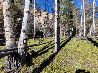
A hike up this beautiful trail of mixed pine and grasslands, past the Payne Creek junction, just up to the point where the trail starts climbing steeply and enters the Lost Creek Wilderness. There we will pause for lunch and then return the way we came.
We will write you a couple of days before trip day with a weather and route update.
Assuming a hot day, let's meet BY 7:00 A.M. in the dirt parking area of the Morrison Park N Ride at C-470 and the Morrison exit, located between C-470 and the Phillips 66 station. The address is 3485 S Rooney Rd, Morrison, CO 80465. We'll set up carpools and transfer equipment, then make a prompt departure.
We'll hop back on C-470 and drive one stop south to US-285 south, then make a comfort stop at the Loaf N Jug, 173 Bulldogger Rd. Each of us should buy a little something to thank them for use of their restrooms.
We'll then caravan to the nearby Brookside McCurdy TH.
Required Equipment
10 essentials, sturdy boots, sun protection, lunch, and at least 1-1/2 liters of water, anticipating a hot day.
