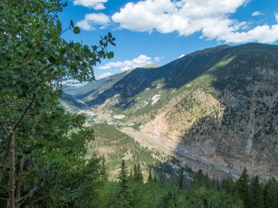
Burning Bear Trail
Typically an out and back from the Burning Bear Trailhead. Can include the peak and/or a through hike to CR-60.
Burning Bear Trail #601 is a popular trail for hiking and snowshoeing.
The Burning Bear East TH is across from the Abyss TH.
The South TH on CR-60 is here.
Burning Bear Peak (12,069'): Great peak off of Guanella Pass Road accessed from either Trailhead.
Alternate Titles:
Burning Bear Trail one way through-hike - 8 miles. ' gain
Burning Bear Trail through hike plus Peak - 9.5 miles. 2450' gain
- Suitable Activities: Hiking, Snowshoeing
- Seasons: Year-round
- Weather: View weather forecast
- Length: 11.0 mi
- 12,069 ft
-
Land Manager:
U.S. Forest Service
South Platte Ranger District (PSINF)
- Parking Permit Required: USFS Permits & Passes
- Recommended Party Size: 12
- Maximum Party Size: 12
- Maximum Route/Place Capacity: 12
This is a list of titles that represent the variations of trips you can take at this route/place. This includes side trips, extensions and peak combinations. Not seeing a title that fits your trip? Log in and send us updates, images, or resources.
- Burning Bear Trail - Burning Bear Peak
- Burning Bear Trail - Burning Bear Thru Hike
There are no resources for this route/place. Log in and send us updates, images, or resources.
