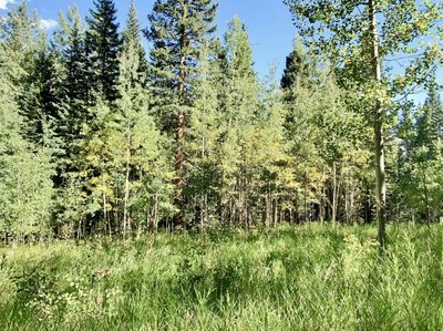
Deer Creek Trailhead and the Tanglewood Trail
This Trailhead provides a southern access to the Blue Sky (formally Mt Evans) Wilderness. It connects to numerous trails and peaks within the Wilderness.
The TH accesses:
- Tanglewood Trail #636, which connects with the
- Whiteside #697
- Rosalie #603
- Abyss #602
- Roosevelt Lakes #56
- Cub Creek #40, and beyond.
Mountains are readily accessible from this TH include Rosalie, Royal, Rosedale, Spearhead, Tehana, and Bandit.
Deer Creek TH address is 8704-8798 Deer Creek Rd, Bailey, CO 80421, at the end of a dirt road past the USFS Deer Creek Campground. The spacious parking lot at the TH.
Alternate title data:
Pegmatite Points: 9 miles - 2,900 ft elevation gain
From Deer Creek trailhead hike beside lovely Tanglewood Creek, eventually through a stand of bristlecone pines up to the saddle between Pegmatite Points and Mt. Rosalie. From the saddle, explore the points which stretch ~ 1/2 mile northeast along the ridge.
- Suitable Activities: Backcountry Nordic Skiing, Hiking, Scrambling, Snowshoeing
- Snowshoeing Category: Intermediate
- Seasons: Year-round
- Weather: View weather forecast
- View avalanche forecast.
-
Land Manager:
U.S. Forest Service
Mount Blue Sky Wilderness Area (formerly Mount Evans), South Platte Ranger District (PSINF)
- Parking Permit Required: USFS Permits & Passes
- Recommended Party Size: 12
- Maximum Party Size: 15
- Maximum Route/Place Capacity: 15
This is a list of titles that represent the variations of trips you can take at this route/place. This includes side trips, extensions and peak combinations. Not seeing a title that fits your trip? Log in and send us updates, images, or resources.
- Deer Creek TH - Tanglewood Trail
- Deer Creek TH - Rosalie Trail
- Deer Creek TH - Pegmatite Points
- Deer Creek TH - Pegmatite Points & Mt Rosalie
There are no resources for this route/place. Log in and send us updates, images, or resources.
