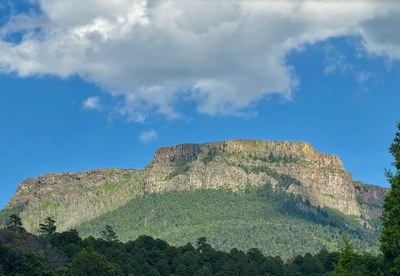
Fishers Peak State Park
State Park located south of Trinidad, CO. Views of Fishers Peak, Spanish Peaks, and Sangre de Cristo Range.
Osita Point: 8 miles, 1,700 feet of elevation gain
Alternate title -
Capulin Volcano
Osita Point
- Suitable Activities: Biking, Hiking
- Seasons: Year-round
- Weather: View weather forecast
- 8,125 ft
-
Land Manager:
Colorado Parks & Wildlife
Fishers Peak State Park
- Parking Permit Required: State Parks Entrance Fee / Pass
- Recommended Party Size: 12
- Maximum Party Size: 12
- Maximum Route/Place Capacity: 12
- https://cpw.state.co.us/learn/Maps/FishersPeakSP_TrailMap.pdf
This is a list of titles that represent the variations of trips you can take at this route/place. This includes side trips, extensions and peak combinations. Not seeing a title that fits your trip? Log in and send us updates, images, or resources.
- Fishers Peak State Park - Osita Point
- Fishers Peak State Park - Capulin Volcano
There are no resources for this route/place. Log in and send us updates, images, or resources.
