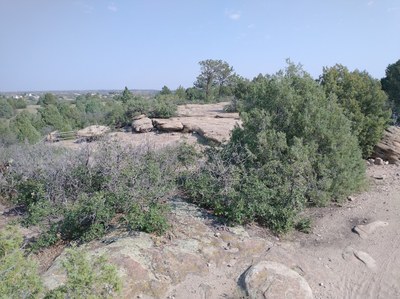
Hidden Mesa Open Space
There are two routes. From the parking lot just north of Franktown, it is 2.2 miles to the mesa top. With a 1.9 mile loop on top, the total RT is 6.3 miles of easy hiking with an elevation gain of 600 feet. From the small parking lot on the west side, the total RT is 2.7 miles and an elevation gain of only 127 feet.
Hidden Mesa Open Space lies between Castle Rock and Franktown with rock outcrops to sit on and have lunch with views to Pikes Peak and the Front Range. There are two routes. From the parking lot just north of Franktown, it is 2.2 miles to the mesa top. With a 1.9 mile loop on top, the total RT is 6.3 miles of easy hiking with an elevation gain of 600 feet. From the small parking lot on the west side, the total RT is 2.7 miles and an elevation gain of only 127 feet.
- Suitable Activities: Hiking
- Seasons: Year-round
- Weather: View weather forecast
- Length: 6.3 mi
- Elevation Gain: 600 ft
- Land Manager: Douglas County Open Space
- Parking Permit Required: Other
- Recommended Party Size: 12
- Maximum Party Size: 12
- Maximum Route/Place Capacity: 12
There are no resources for this route/place. Log in and send us updates, images, or resources.
