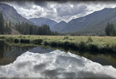
Lone Pine Lake via Mt. Cairns
This is a lariat route from near Grand Lake with 40% of the route off trail to the summit.
Starting at the West Portal area near Grand Lake, this route stays on the Lower East Inlet Trail for approximately 1.2 miles, while entering RMNP. From there the hike goes north/west up the hillside for about a 1200 foot elevation gain. Then a couple of miles of more gradual uphill for another 1000 foot gain to the summit of Mount Cairns (10873'). From there descend about a mile back down to Lone Pine Lake and return to the trailhead on the Lower East Inlet Trail.
- Suitable Activities: Hiking
- Seasons: Year-round
- Weather: View weather forecast
- Length: 9.89 mi
- Elevation Gain: 3,541 ft
- 10,867 ft
- Land Manager: National Park Service
- Parking Permit Required: National Park Entrance Fees
- Recommended Party Size: 9
- Maximum Party Size: 9
- Maximum Route/Place Capacity: 12
- CoTrex
- AllTrails
There are no resources for this route/place. Log in and send us updates, images, or resources.
