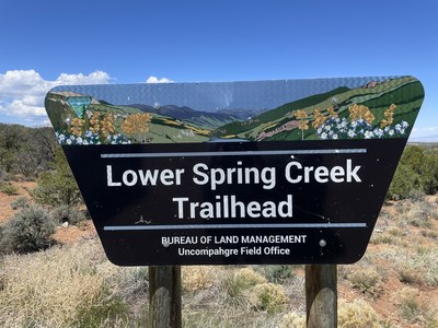
Lower Spring Creek TH
Various trails between Simms Mesa & Buzzard Gulch start at this trailhead
Alternate titles -
Buzzard Gulch - 3 miles - 150 ft elevation gain
Lower Spring Creek Loop - 11 miles - 1700 ft elevation gain
Simms Mesa - 9 miles - 1900 ft elevation gain
Simms Mesa nature trail
Waterfall (east side) - 4 miles - 750 ft elevation gain
Waterfall (west side) - 7 miles - 500 ft elevation gain
- Suitable Activities: Hiking
- Seasons: Year-round
- Weather: View weather forecast
- Difficulty: Easy to Moderate, Easy to Moderate
- Length: 7.0 mi
- Land Manager: Bureau of Land Management
- Parking Permit Required: BLM Permits & Passes
- Recommended Party Size: 12
- Maximum Party Size: 12
- Maximum Route/Place Capacity: 12
This is a list of titles that represent the variations of trips you can take at this route/place. This includes side trips, extensions and peak combinations. Not seeing a title that fits your trip? Log in and send us updates, images, or resources.
- Lower Spring Creek TH - Buzzard Gulch
- Lower Spring Creek TH - Lower Spring Creek Loop
- Lower Spring Creek TH - Simms Mesa
- Lower Spring Creek TH - Simms Mesa nature trail
- Lower Spring Creek TH - Waterfall (east side)
- Lower Spring Creek TH - Waterfall (west side)
There are no resources for this route/place. Log in and send us updates, images, or resources.
