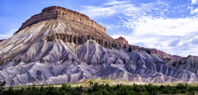
Mount Garfield
Mod B hike, 4 mile round trip 2,000' elevation gain. Short but steep and scenic hike overlooking Grand Junction.
- Suitable Activities: Hiking
- Seasons: Year-round
- Weather: View weather forecast
- Difficulty: Mod B
- Length: 4.0 mi
- Elevation Gain: 2,000 ft
-
Land Manager:
Bureau of Land Management
Colorado River Valley Field Office
- Parking Permit Required: BLM Permits & Passes
- Recommended Party Size: 8
- Maximum Party Size: 8
- Maximum Route/Place Capacity: 12
There are no resources for this route/place. Log in and send us updates, images, or resources.
