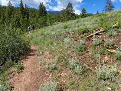
Payne Creek
Payne Creek Trail is in the Lost Creek Wilderness Area. The trailhead is off Park County Rd 64 in the middle of Bailey, CO. Out and Back to the crest is 13.5 miles, 3100' gain.
- Suitable Activities: Backpacking, Camping, Hiking, Snowshoeing
- Snowshoeing Category: Intermediate
- Seasons: Year-round
- Weather: View weather forecast
- Avalanche Terrain Rating Simple
- Length: 13.5 mi
- Elevation Gain: 3,100 ft
- 9,894 ft
-
Land Manager:
U.S. Forest Service
Lost Creek Wilderness Area, South Platte Ranger District (PSINF)
- Parking Permit Required: USFS Permits & Passes
- Recommended Party Size: 12
- Maximum Party Size: 15
- Maximum Route/Place Capacity: 15
- National Geographic from REI
There are no resources for this route/place. Log in and send us updates, images, or resources.
