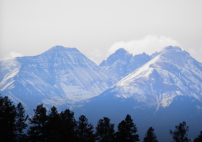
Tanner and Curley Peaks
These peaks south of Canon City can be approached from three different trailheads and are often paired with each other. One-way hikes are possible.
Tanner TH – A popular starting point for hiking up Tanner Peak.
Stultz TH – Another access point for reaching Tanner Peak, Curley Peak, and other nearby trails.
- Suitable Activities: Biking, Hiking
- Seasons: Year-round
- Weather: View weather forecast
- Avalanche Terrain Rating Challenging
- Length: 7.0 mi
-
Land Manager:
U.S. Forest Service
San Carlos Ranger District (PSINF)
- Parking Permit Required: USFS Permits & Passes
- Recommended Party Size: 12
- Maximum Party Size: 12
- Maximum Route/Place Capacity: 12
- USGS Curley Peak
- COTREX
- AllTrails
- Summit Post
This is a list of titles that represent the variations of trips you can take at this route/place. This includes side trips, extensions and peak combinations. Not seeing a title that fits your trip? Log in and send us updates, images, or resources.
- Tanner and Curley Peaks - East Bear to Stultz/Tanner Trail
- Tanner and Curley Peaks - Curley Peak
- Tanner and Curley Peaks - Tanner Peak
- Tanner and Curley Peaks - East Bear TH
- Tanner and Curley Peaks - Tanner TH
- Tanner and Curley Peaks - Stultz TH
There are no resources for this route/place. Log in and send us updates, images, or resources.
