Guide to Rendezvous
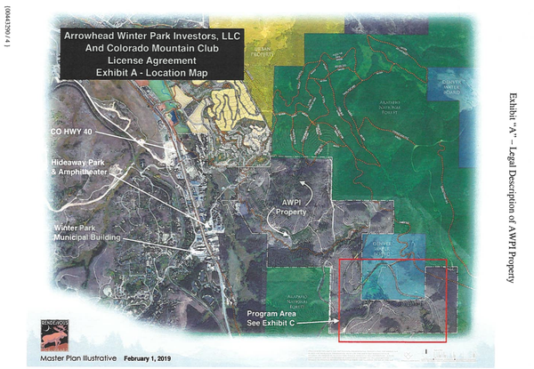
Maps
Access
Directions to Parking: 39.908844, -105.764279
- From Winter Park, head north on US-40.
- Turn right on Lakota Trail
- Turn right again on Arrow Trail.
- Turn left onto Forest Rd 128.
- Park at the Denver Water Board parking area (please note the road is closed beyond this point during the winter months).
Please carpool to minimize parking impacts.
*Alternate Route #1: Head west on I-70 to US 40. Head north on US 40 (past Empire) to Winter Park. Go past 2nd stoplight (Arrow Trail) .5 miles and turn right on Corona Pass Road/149. Go 3.7 miles to a 4-way intersection of Corona, 149, 128, and 81(unmarked). Turn hard right onto the unmarked 81. Continue .6 mile to the blocked end of the road, which is near the Denver Water Board parking area.
*Alternate Route #2: At the 4-way intersection of Corona, 149, 128, and 81, turn right onto 128, and go .8 mile to where the road changes from west to south. This is near the SE corner of Rendezvous. Limited parking along the road.
*Alternate Routes are seasonal. They are closed from about 11/15 - 6/15 each season. It is possible they are open a bit earlier or later, but will require physical verification before a planned outing.
Authorized Use & Activities
- Only CMC staff, members, member’s family members, and registered program participants of the CMC accompanied by CMC leaders are allowed to use the Rendezvous property.
- The entire property, as well as the established Rendezvous and Idlewild Trail System may be used for CMC activities. Permitted activities are limited to hiking, cross-country skiing, snowshoeing and outdoor education programs (e.g. Avalanche Education, Winter Camping, Survival Skills, Navigation, etc.).
- Adjacent USFS lands may only be used by CMC schools that have obtained the appropriate permit from Arapaho National Forest.
Reservations
- Once you’ve selected a date for your CMC class or trip, submit your Rendezvous Reservation Request here!
- Priority will be given to CMC Schools.
Camping
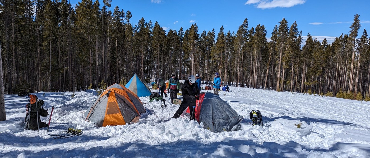
- Camping is limited to the defined ‘Program Area’ only (see map). Avoid camping close to water and trails. Use impacted sites that have already lost their vegetation cover, or sites that are naturally lacking vegetation, such as exposed bedrock, snow or sandy areas. Camping is not permitted on the USFS land adjacent to the property.
Campfires
- No campfires or open flames are permitted other than solid fuel canisters and liquid fuel backpacking-style stoves.
Low-Impact Travel
- Travel and camp on durable surfaces, using existing trails and campsites whenever possible. Groups agree to minimize their impact by practicing the Seven Principles of Leave No Trace.
Waste Disposal
- Pack out all trash, including food, waste, and micro-trash. No burning or burying of garbage is permitted. Please inspect teaching areas and campsites for trash or spilled foods prior to departing the property.
- Solid human waste should be packed out in waste removal bags (e.g. ‘blue bags,’ Restop). Pack out toilet paper and hygiene products.
- To wash yourself or your dishes, carry water 200 feet away from water sources and use small amounts of biodegradable soap. Pack out larger bits of food and scatter strained dishwater.
Restrictions
- No motorized devices or any mechanized vehicles (motorcycles, snowmobiles, bicycles) are permitted. All animals, including, but not limited to, dogs, horses, mules, and llamas are prohibited.
- Any trail maintenance or improvements, including, but not limited to, vegetation removal, weed control, brush clearing, and tree cutting without prior written approval is strictly prohibited. Groups are not to build temporary structures, furniture, or dig trenches. Improvised shelter building is ok, as long as shelters are dismantled and the area is naturalized after the class.
Questions?
Any questions concerning Rendezvous Open Space property rules or reservations can be directed to: CMC Permit Coordinator, permits@cmc.org
Photos (taken oct 2021)
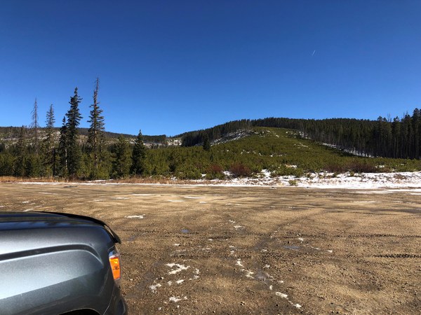
- View from the parking area looking east.
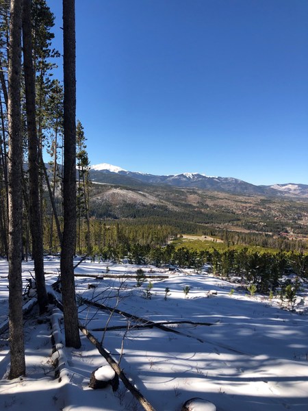
- View from the top of the hill on the east side looking west. You can see the parking area down below.
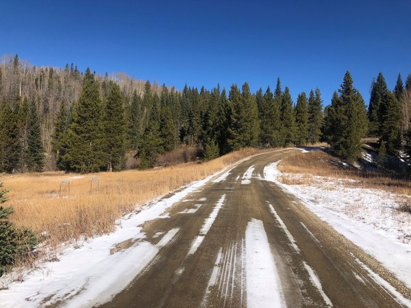
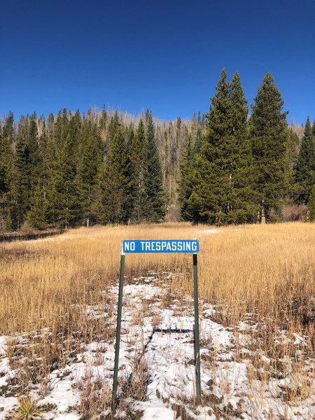
- If you continue north on the main road, you will see this No Trespassing sign that indicates the northern boundary of the property.
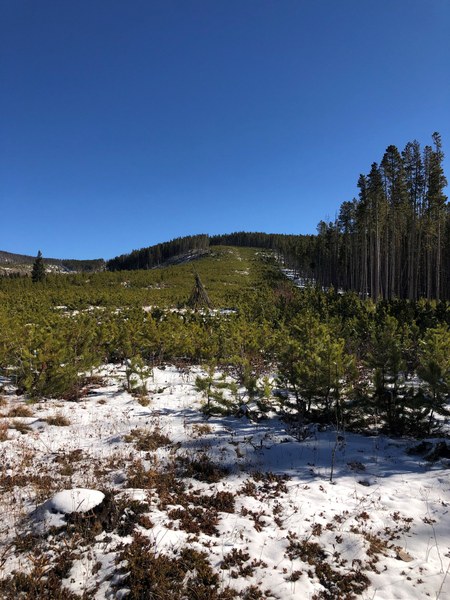
- Looking east, the tree line indicates the southern boundary with the US Forest Service.
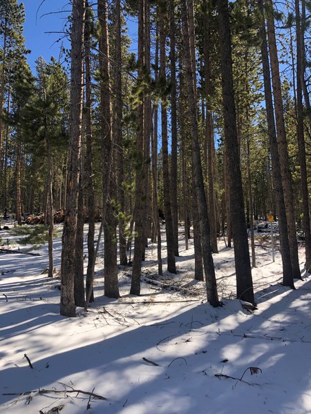
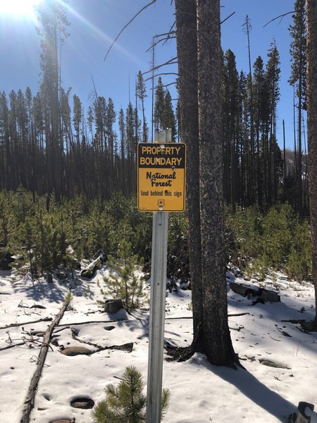
- The US Forest Service has yellow boundary signs on the eastern and southern borders.
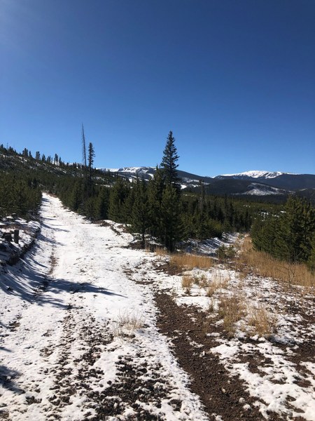
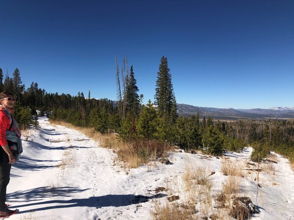
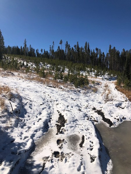
- There is a fire road that zigzags uphill. You can catch the road near the northern boundary. It will turn east uphill. There are some splits in the road.
